Link
Moderator
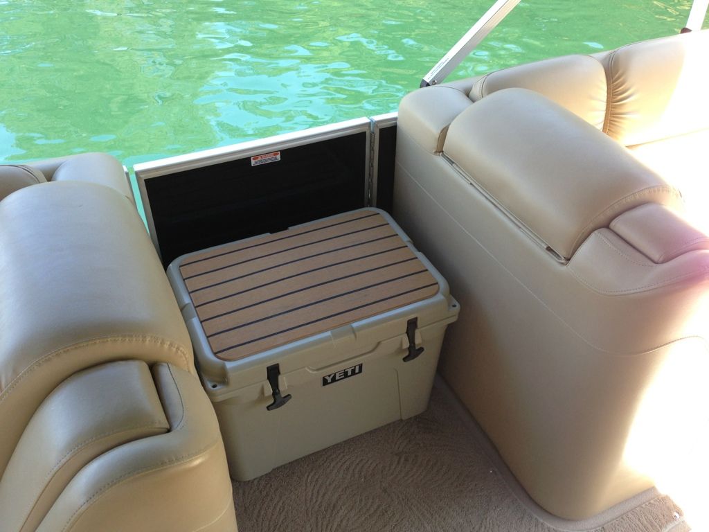
MrG that plasdeck is fantastic lookingI havent done to much to my Q, But so far, Im loving the yeti cooler

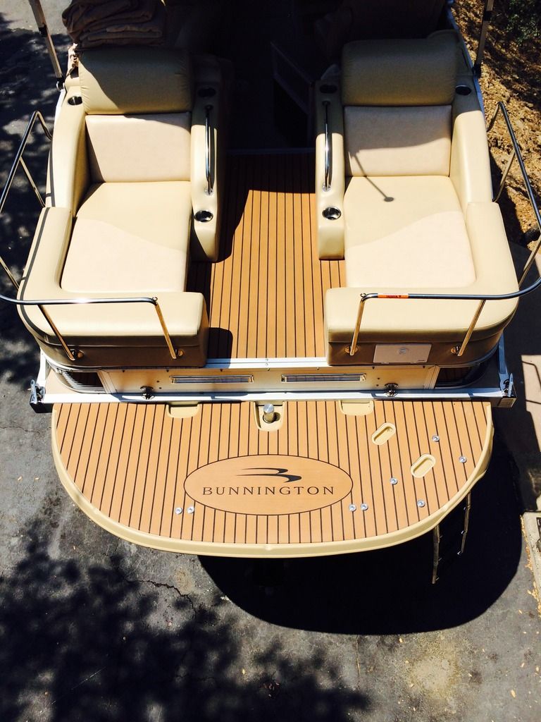
And I love the Plasdeck eddition to the Swim Deck


Follow along with the video below to see how to install our site as a web app on your home screen.
Note: This feature may not be available in some browsers.
MrG that plasdeck is fantastic lookingI havent done to much to my Q, But so far, Im loving the yeti cooler

And I love the Plasdeck eddition to the Swim Deck


We have very good long time friends who live on Marco Island. Beautiful place.
So......reading about these YETI Rambler colsters. First I've heard about these. Do they function as good as their advertisement claims?
Very nice tcpip, and most of these thread never get to old to add to, especially when it adding stuff to our toys!
So the water is calm enough to go to the Keys? I've never been down that far in a vehicle, surely not a boat, so I don't know what the conditions are. I just thought they would be "raging seas".
You have to watch the weather EXTREMELY closely. The gulf can change pretty quickly on you. Seas are generally 1-2' in the morning - which is when we make the run. PLB, Primary VHF, backup VHF with built-in GPS, good anchor with 150' of rode, 10 gal fresh water if needed are all MANDATORY items as far as I'm concerned. I also keep a lensatic compass, and a cell phone charger, and paper charts.
We're never more than 25 miles from shore, and never more than 40' in depth so anchor should hold us in place. Only real fear is that of lightning if we were to get caught out there.
What we do is leave Ft. Myers in the early morning and head down to Marco Island. From there we top off the tanks, and check the weather window. Unless we have perfect conditions, we'll spend the day and night in Marco and leave at first light.
If flat seas we'll run direct from south of Cape Romano to Marker 13 at Marathon ("Direct 3"), otherwise we'll take the coastal route ("Coastal 1") just skirting ENP. D3 takes us a little over 4 hours, while C1 is nearly 6 hours and 4 more gallons of fuel.
There's a couple that we are friends with, and sometimes the guys will take the boat while the girls drive the car, or the other couple will drive their car and we'll drive our boat. That way we have a vehicle for getting around while we're down there. We haven't bothered taking the boat down to KW as it's more bother than it's worth. Just easier to drive from Matathon or Islamorada.
I also have a route that I have not done yet ("MARCO-KW Direct") that is a straight shot down to Key West. It's 80 nm and about 30 gallons of gas.
in all cases, I've thrown in two additional 5 gal fuel containers just to be safe.
I realize this thread is about a year old, but I've been away from the forum (more on that later).
When we bought our boat, I worked very closely with my dealer on what additional things I wanted added to my 24SSL.
The first thing we did was to put in an additional 19 gallon gas tank. We wanted the additional range for the boat to allow us to run down to the Florida Keys in it. We installed it behind the rear lounger and it fit like it was made for it. It now gives me 51 gallons of fuel.
The second thing we added was a NMEA 2000 network to the boat so that I could tie my Yamaha F150 into my Garmin 541S chartplotter. This gave me so much more engine data (fuel consumption, additional temp gauges, oil pressure gauges, GPH, MPG, and other info.
The third thing we added was a 10-gallon fresh water tank to rinse the saltwater off after we've been swimming in the Gulf of Mexico.
I added a fixed VHF radio to it, and tied it into my Garmin 541S, so in the case of an emergency my location would be sent via DSC.
The last thing I did was add a Fortress FX-11 anchor. It was expensive anchor, but when it sets, it sticks.


Wow, nice additions. Bet that took some planning...